Maps of Ivolginsky District
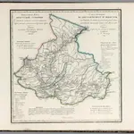 1829|Piadyshev, Vasilii Petrovich, 1758-18351:5 334 000
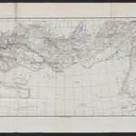
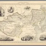
 1864|MICHIE, Alexander.
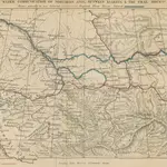
 18741:8 500 000
 1827|Vandermaelen, Philippe, 1795-18691:1 641 836
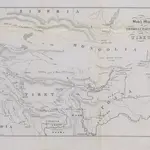 1851|Prinsep, Henry Thoby
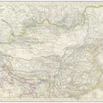 1839|Grimm, J. L.1:12 760 000
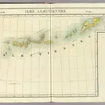
 1851|Tallis, J. & F.1:19 008 000
Old maps of Ivolginsky District
Discover the past of Ivolginsky District on historical maps
Old maps of Ivolginsky District
Discover the past of Ivolginsky District on historical maps
Looking for a Google Maps API Alternative?