

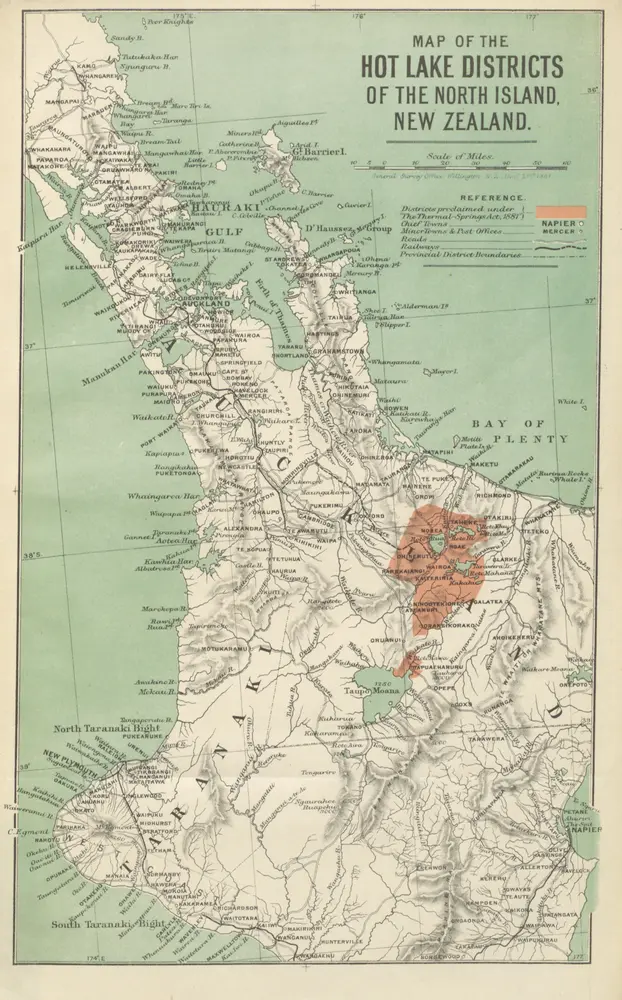
New Zealand Thermal-Springs Districts. Papers relating to the sale of the township of Rotorua ..., with maps and plans ... Together with information relating to the Hot-Springs Districts, and a report on the Mineral Waters
1882
G. Didsbury
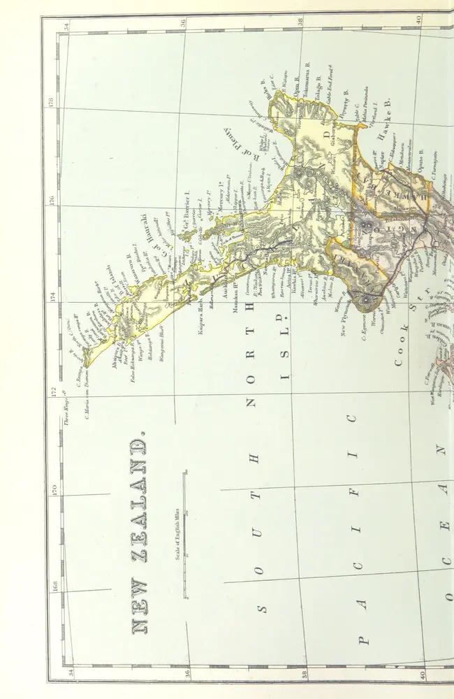
The Victorian Empire; a brilliant epoch in our national history. [With illustrations and maps.]
1897
TAYLOR, James D.D., of Glasgow
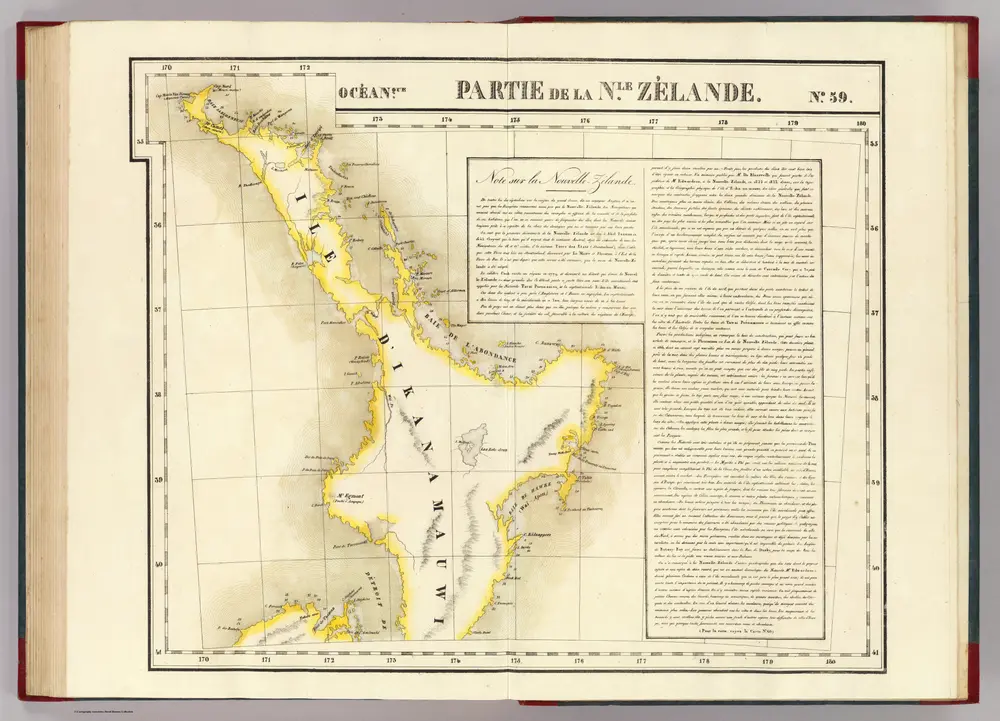
Partie, Nle. Zelande. Oceanque. no. 59.
1827
Vandermaelen, Philippe, 1795-1869
1:2m
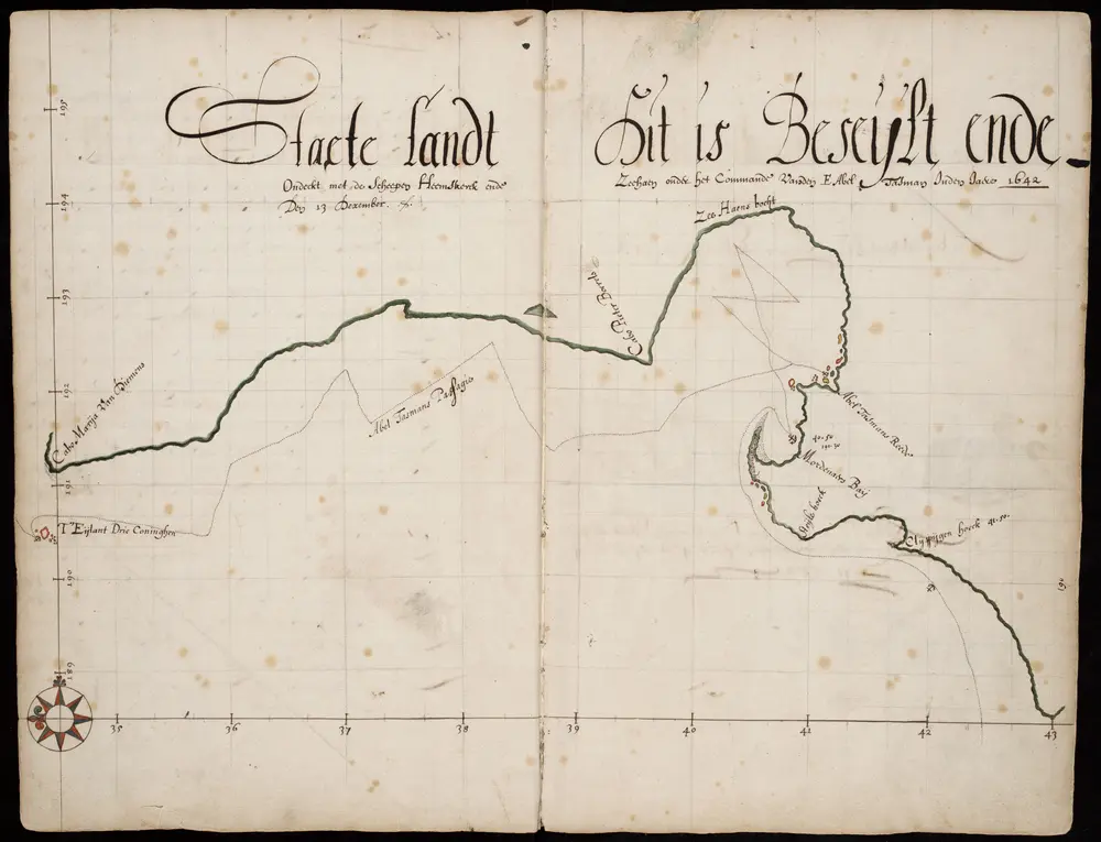
Journaal van Abel Tasman Jansz.
1642
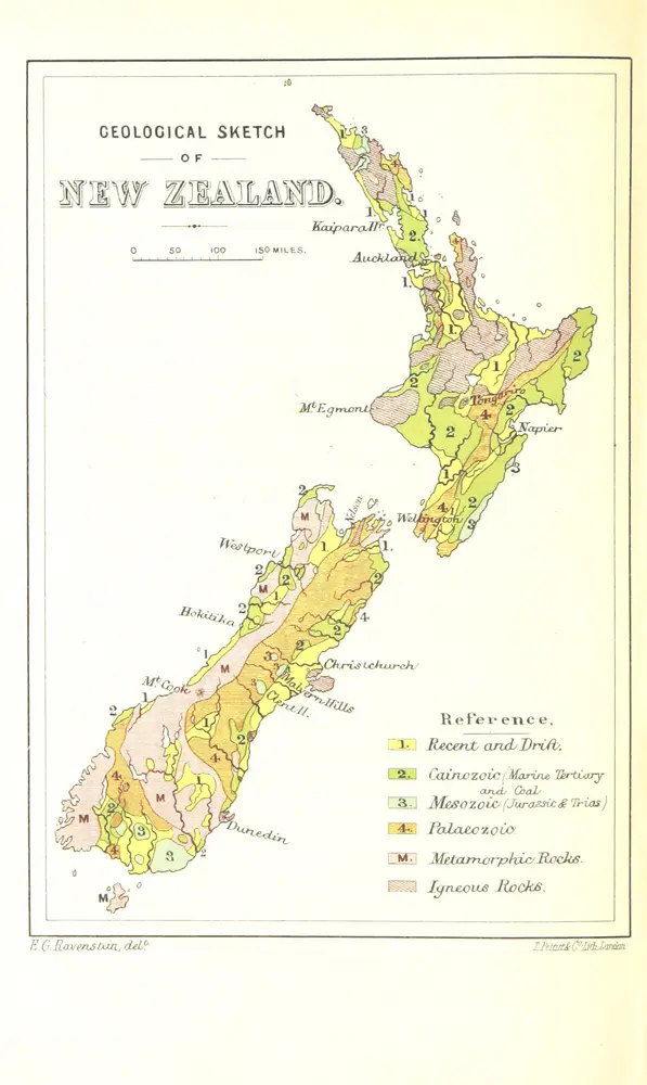
Recollections of Travel in New Zealand and Australia ... With maps and illustrations
1880
CRAWFORD, James Coutts.
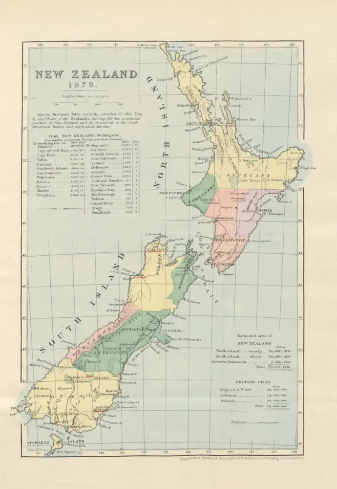
Old England and New Zealand: the Government, Laws, Churches, public institutions, and the resources of New Zealand ... With an historical sketch of the Maori race ... Extracts from the author's diary of his voyage to New Zealand, etc
1879
SIMMONS, Alfred.
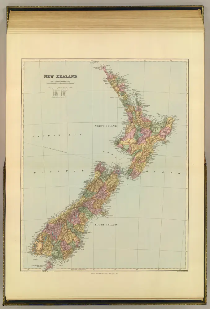
New Zealand.
1901
Stanford, Edward
1:3m
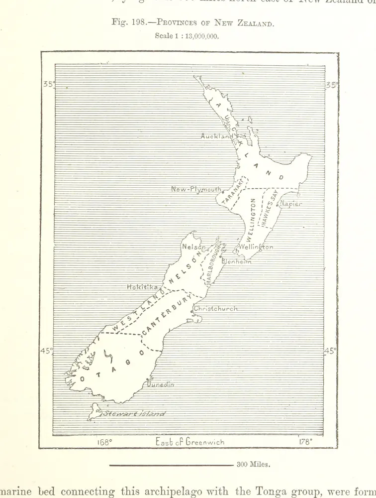
The Earth and its Inhabitants. The European section of the Universal Geography by E. Reclus. Edited by E. G. Ravenstein. Illustrated by ... engravings and maps
1878
RECLUS, Élisée.
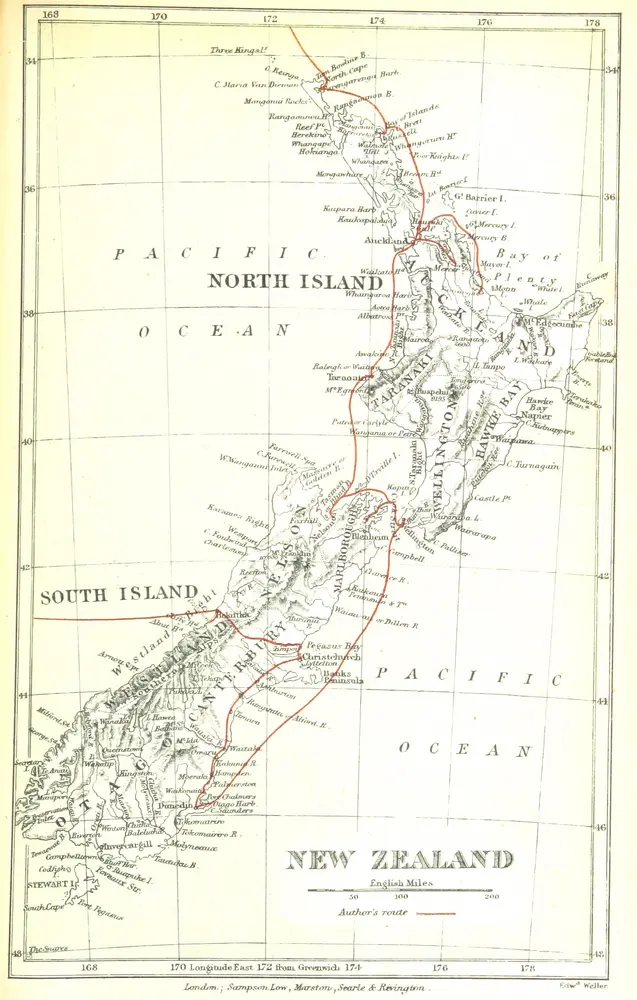
The Australian abroad. Branches from the Main Routes round the World. [Reprinted from the Melbourne “Argus.” With illustrations.] 2 series
1879
HINGSTON, James.
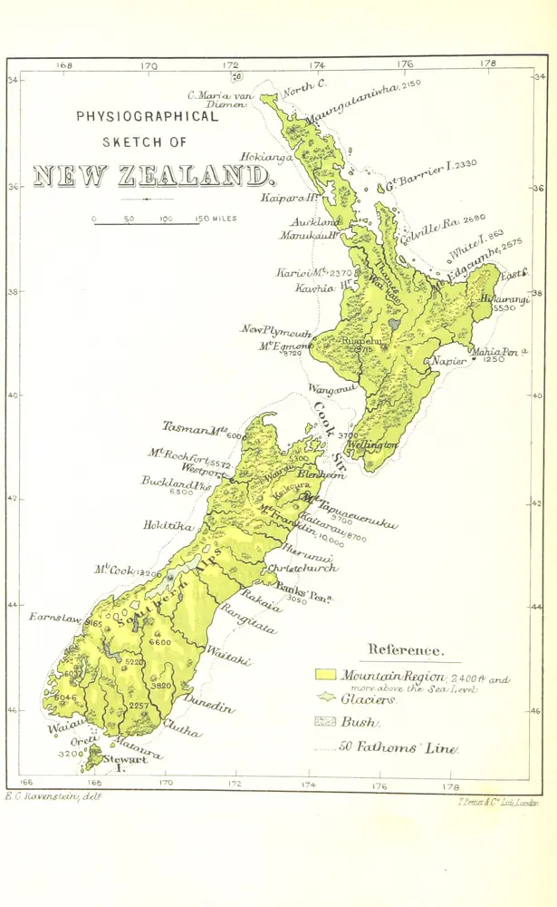
Recollections of Travel in New Zealand and Australia ... With maps and illustrations
1880
CRAWFORD, James Coutts.

